Home
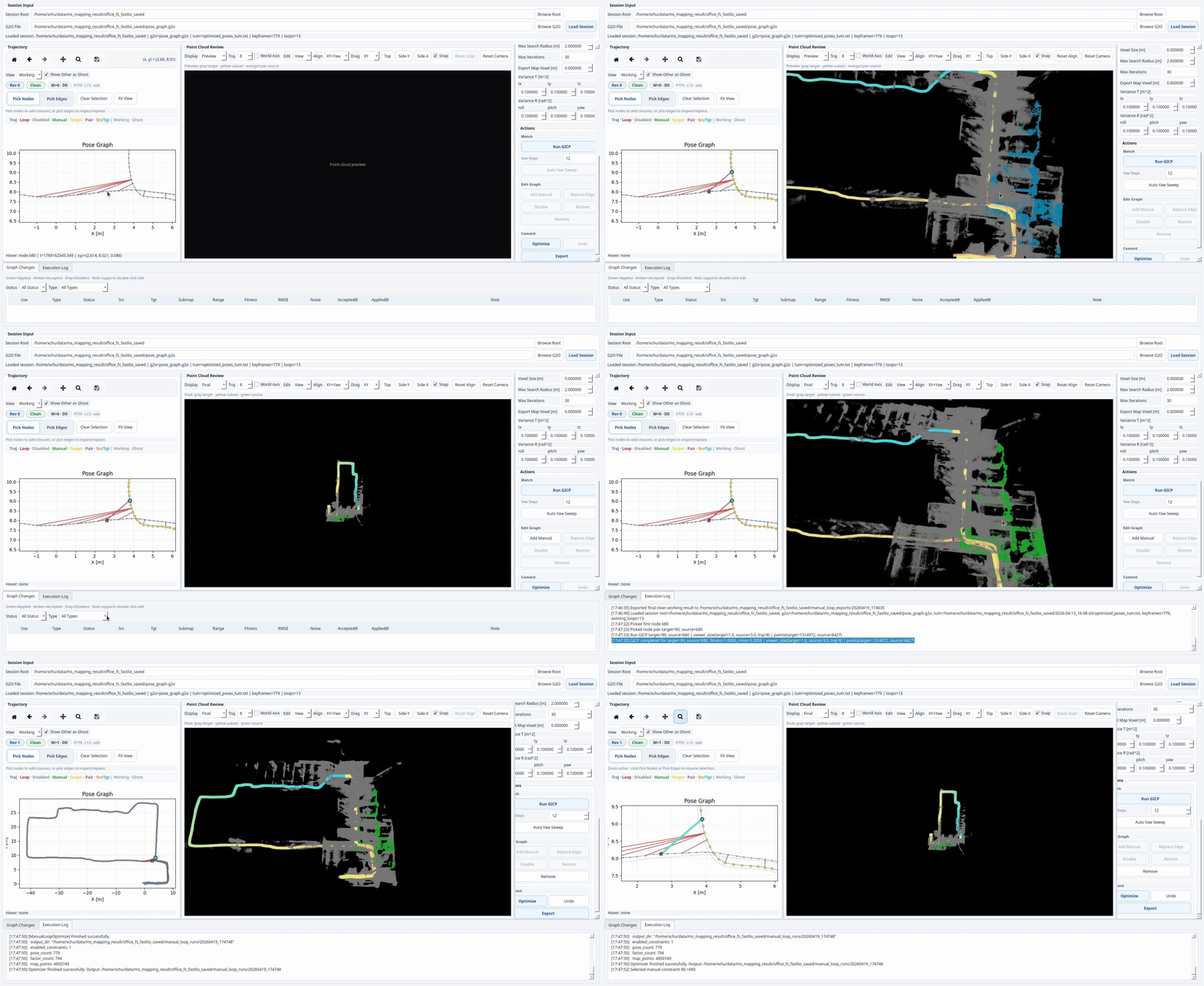
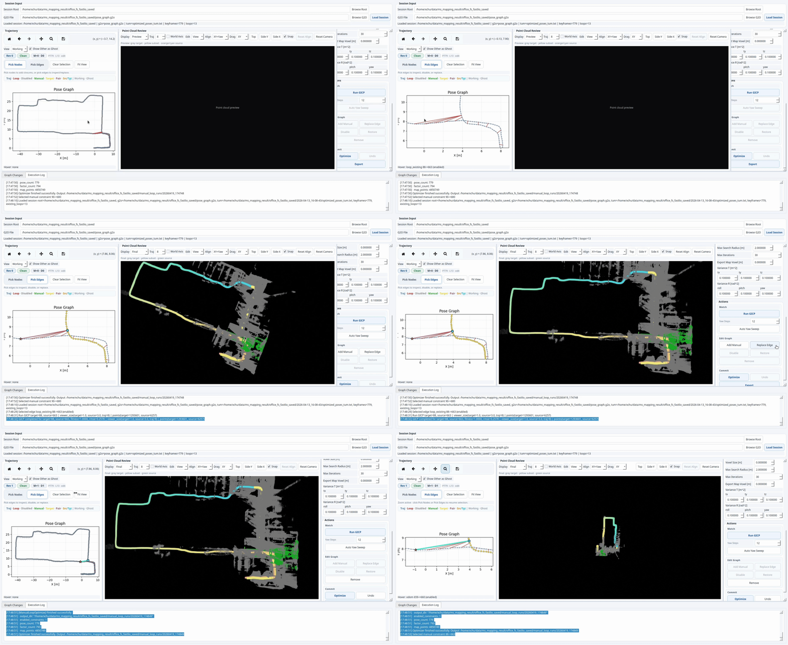
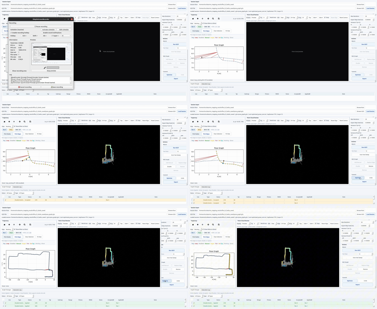
This wiki is a practical operator guide for the standalone manual loop closure workflow. It complements the repository README with focused pages on usage, graph-editing logic, backend behavior, and troubleshooting.
Authors: Xiangcheng HU, Jin Wu, Xieyuanli Chen
Contact: xhubd@connect.ust.hk
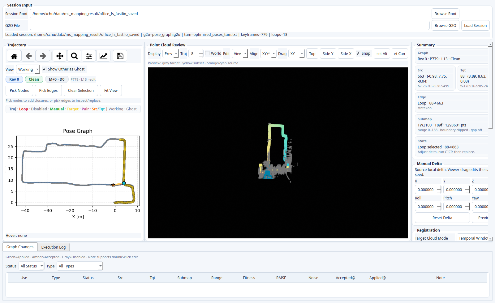
The project is an offline loop-closure editor for LiDAR mapping sessions that already export:
pose_graph.g2ooptimized_poses_tum.txtkey_point_frame/*.pcd
It lets you:
- inspect
OriginalandWorkingtrajectories - pick node pairs or existing loop edges
- preview source / target point clouds in map coordinates
- run GICP and validate loop proposals
- add, replace, disable, restore, and export graph changes